MarketplaceCommunityDEENDEENProductsCore ServicesRoadmapRelease NotesService descriptionCertifications and attestationsPrivate CloudManaged ServicesBenefitsSecurity/DSGVOSustainabilityOpenStackMarket leaderPricesPricing modelsComputing & ContainersStorageNetworkDatabase & AnalysisSecurityManagement & ApplicationsPrice calculatorSolutionsIndustriesHealthcarePublic SectorScience and researchAutomotiveMedia and broadcastingRetailUse CasesArtificial intelligenceHigh Performance ComputingBig data and analyticsInternet of ThingsDisaster RecoveryData StorageTurnkey solutionsTelekom cloud solutionsPartner cloud solutionsSwiss Open Telekom CloudReferencesPartnerCIRCLE PartnerTECH PartnerBecome a partnerAcademyTraining & certificationsEssentials trainingFundamentals training coursePractitioner online self-trainingArchitect training courseCertificationsCommunityCommunity blogsCommunity eventsLibraryStudies and whitepaperWebinarsBusiness NavigatorMarketplaceSupportSupport from expertsAI chatbotShared ResponsibilityGuidelines for Security Testing (Penetration Tests)Mobile AppHelp toolsFirst stepsTutorialStatus DashboardFAQTechnical documentationNewsBlogFairs & eventsTrade pressPress inquiriesMarketplaceCommunity

0800 3304477 24 hours a day, seven days a week

Write an E-mail 

Book now and claim starting credit of EUR 250
ProductsCore ServicesPrivate CloudManaged ServicesBenefitsPricesPricing modelsPrice calculatorSolutionsIndustriesUse CasesTurnkey solutionsSwiss Open Telekom CloudReferencesPartnerCIRCLE PartnerTECH PartnerBecome a partnerAcademyTraining & certificationsCommunityLibraryBusiness NavigatorMarketplaceSupportSupport from expertsHelp toolsTechnical documentationNewsBlogFairs & eventsTrade pressPress inquiries
  • 0800 330447724 hours a day, seven days a week
  • Write an E-mail 
Book now and claim starting credit of EUR 250

Free geodata: Apply now for ESA funding!

by Editorial team
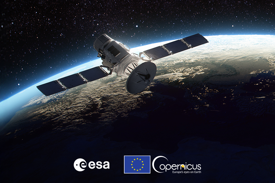
Picture of a satellite hovering above the earth's surface
Satellites provide precise data that form the backbone of climate research and policy.
 

In this article you will read,

  • why the Copernicus earth observation program plays an important role in combating climate change,
  • what makes Copernicus unique,
  • and how the European Space Agency (ESA) and the Open Telekom Cloud financially support geoservice providers.


The Copernicus Data Space Ecosystem (CDSE) is the world's largest collection of earth observation data. The Copernicus program plays an important role in the fight against climate change. The ESA also encourages companies to use the data to develop new geoservices – and, together with the Open Telekom Cloud, provides financial support to help them to do so.
Satellite data confirms global warming

The global average temperature is rising, throwing the Earth's climate out of balance. According to current calculations, it has already risen by 1.6 degrees Celsius compared to pre-industrial levels. Forecasts show that an increase of just two degrees will have dramatic effects. An increase of 1.5 degrees is generally regarded as the threshold beyond which the worst consequences of climate change can no longer be mitigated. In the global fight against global warming, Earth observation by satellites is indispensable.

Satellites provide precise data that form the backbone of climate research and policy. From measuring global average temperatures and monitoring ice melt to analyzing emissions in the atmosphere, these invisible orbital helpers provide a comprehensive, real-time picture of the changes taking place in our environment. Without this data, progress – or failure – in achieving the 1.5 degree target could not be accurately tracked, nor could urgently-needed measures be implemented in a targeted manner. The Copernicus program, launched years ago by the European Union (EU), makes substantial contributions to dealing with climate change.

What is the Copernicus program?

ESA Copernicus is the EU’s Earth observation program. It offers information services based on satellite-based Earth observation and non-space data. A connection to the Géant high-speed scientific network enables the exchange of enormous amounts of data with other scientific disciplines. The Copernicus Earth observation program is coordinated and managed by the European Commission. The ESA, the European Organization for the Exploitation of Meteorological Satellites (EUMETSAT), the European Center for Medium-Range Weather Forecasts (ECMWF), several EU agencies, and Mercator Océan are all operationally involved.  

The core component of the program is a fleet of Sentinel satellites that continuously collect measurement data and images of Earth. Every day, the Copernicus data “pool” grows by 12 TB. The CDSE has now grown to around 90 PB – making it the world's largest collection of Earth observation data. T-Systems leads the consortium behind CDSE. The data are made available free of charge to anyone who is interested. The EU even encourages companies to develop new services based on the geodata through a financial support program.

Funding from the EU funding program

The ESA initiative NoR (Network of Resources) offers free resources from the Open Telekom Cloud for processing Earth observation data.

Apply here now
 

Atmospheric monitoring for climate targets

One of the most important applications offered within the Copernicus ecosystem is CAMS, the Copernicus Atmosphere Monitoring Service. It continuously provides data and information on the composition of the atmosphere and records concentrations of greenhouse gases (carbon dioxide and methane), reactive gases (e.g. carbon monoxide, nitrogen oxides, sulphur dioxide), ozone, and aerosols. It thus paints an up-to-date picture of the atmosphere and air quality. However, CAMS also looks back in time by analyzing historical data sets to highlight how the situation has developed. Last but not least, CAMS also allows forecasts to be made – at least for a few days in advance. Due to these analyses and forecasts, CAMS plays an important role in monitoring the Paris climate targets and as a driver of political decisions.

Help for disaster management

Other services such as the Copernicus Emergency Management Service (EMS) support emergency services and coordinators responding to natural disasters or humanitarian crises. The mapping component of the service (Copernicus EMS - Mapping) is available worldwide and provides disaster management authorities and humanitarian aid organizations with geographical information based mainly on satellite imagery. The generated products can be used to produce digital or printed maps or combined with other data sources to support the work of crisis managers or risk analysts. In addition to the map component, EMS also includes an early warning and monitoring component for the European Flood (EFAS), Forest Fire (EFFIS) and Drought (EDO) systems.

Open Telekom Cloud as a high-performance basis for supporting use cases

The cloud, with its scaling options, is an optimal basis for supporting these regular and event-related use cases. The integrated catalog service has adds value by ensuring user-friendliness: users can make specific requests by area, time or condition, such as moisture content. The Open Telekom Cloud provides high-performance computing resources that support high IOPS values and low latencies with 92 vCPUs, 324 GB of RAM, and local hard disks (10x 3.2 TB NVMe SSD). 

The Open Telekom Cloud not only supports the ongoing operation of the Copernicus data ecosystem but also offers geoservices developers from the CDSE access to high-performance resources for the development and testing of new services. One of the advantages of this is that development can take place where the data is located. These resources are even available free of charge via the NoR initiative.

Apply now for funding of free cloud resources

Any user can apply for funding of cloud resources using data from ESA's Copernicus program. Projects may serve research, development or demonstration purposes. They may even be “pre-commercial,” but they must not generate revenue. The funding guidelines can be found here. The application process is described in detail here.


This content might also interest you
 

Ready for the future of AI and HPC: The Open Telekom Cloud delivers even more computing power and efficiency with NVIDIA H100 GPUs.

Level up your AI and HPC Applications with NVIDIA H100 GPUs

Open Telekom Cloud introduces the next Generation of GPUs from NVIDIA. H100 brings new power to your Artificial Intelligence projects and other high Performance use cases.

 
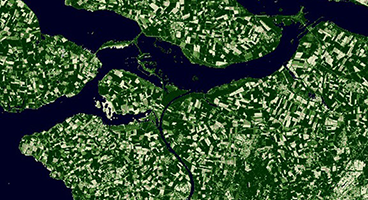
Satellite image from the Copernicus Data Space Ecosystem

Copernicus Data Space Ecosystem

The Open Telekom Cloud provides powerful cloud resources for Earth observation in the Copernicus Data Space Ecosystem.

 
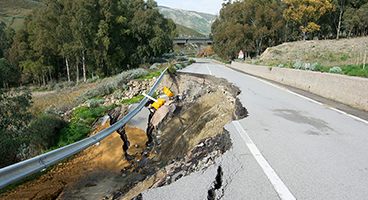
Innovative AI models can detect environmental disasters such as landslides at an early stage and reduce damage.

Artificial Intelligence vs. landslide

Open Telekom Cloud has developed a landslide detector to identify environmental disasters based on image classifications.


The Open Telekom Cloud Community

This is where users, developers and product owners meet to help each other, share knowledge and discuss.

Discover now

Free expert hotline

Our certified cloud experts provide you with personal service free of charge.

 0800 3304477 (from Germany)

 +800 33044770 (from abroad)

 24 hours a day, seven days a week

Write an E-Mail

Our customer service is available free of charge via E-Mail

Write an E-Mail

AIssistant Cloudia

Our AI-powered search helps with your cloud needs.